 ... or further up in the mountains.
 There are many houses directly next to the coast...
 I had to use the weather and bike around Trondheim a bit...
 Back home in Moholt (Trondheim).
 Way back.
 Inside the power house.
 Behind the sealing the water flows under high pressure to the water power plant.
 Product of concrete reacting with the moisture of the air.
 Measuring strike and dip of faults/ bedding planes/ joints with a geological compass.
 Shotcrete


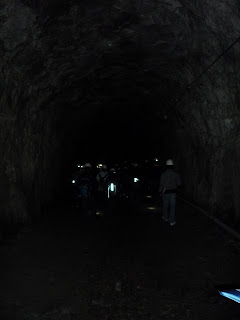
 The second day, we did the mapping inside the tunnel. The pictures show different kinds of rock support (shotcrete, concrete lining, bolts, corrugated sheet against water dropping down the roof,...)


 ... through the forest.
 As a joke, I said that we could go up the hill since we stopped at that point on our way back. ... some seconds later, the prof. went up and we followed him. ;-)
 Field mapping of the bedrock (quality, strike and dip of the surface plains).

 View from our house over the lake.


Where we slept during these two days.

Not far away from Steinkjer at the other end of the Trondheimsfjord. 9. - 10.9.
Thank for posting this beautiful photo.
ReplyDeletePiseth